Uma Franke · 15 September 2026
Local families compile heirloom maps to trace Woldmill's lost field boundaries and trade routes
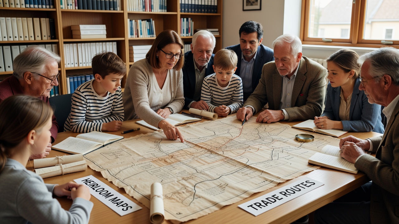
Residents across Woldmill have begun gathering family-held maps that date back generations, and these documents now form the core of an effort to reconstruct field boundaries and former trade paths that disappeared from official records after the 19th century. Families pass down parchment sketches, estate ledgers, and hand-drawn surveys that show how land parcels once aligned along dry-stone walls and hedgerows now buried under modern fields. Researchers cross-reference these private holdings against surviving tithe maps held at county archives, and the combined data set reveals patterns of enclosure that altered access to common land well before the Ordnance Survey's first detailed sheets appeared.
Origins of the map collection
One household in the village still keeps a leather-bound atlas that belonged to a miller active in the 1780s, and its marginal notes list payments for cartage along routes that no longer appear on contemporary satellite imagery. Neighbours contribute similar items during monthly meetings at the village hall, where volunteers photograph each sheet and record its provenance before returning the originals to secure storage. The process began quietly in early 2025 when a local historian noticed discrepancies between 18th-century rent rolls and present-day property lines, prompting families to search attics and outbuildings for additional evidence.
Reconstructing boundaries and routes
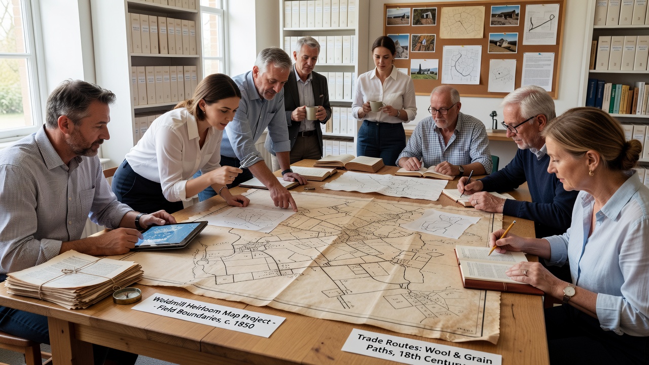
By aligning the heirloom maps with lidar scans provided through a regional heritage partnership, participants identify linear features that correspond to lost drove roads once used for moving livestock to markets in the east. These paths crossed what are now arable fields, and their former widths can still be traced in crop marks visible during dry summers. Field boundaries reconstructed so far include a network of narrow strips that predate parliamentary enclosure acts, and several of these strips match entries in a 1773 valuation book kept by one participating family. Trade routes emerge as sequences of waypoints marked on multiple maps, showing how carriers moved wool and grain toward the coast before turnpike improvements shifted traffic patterns.
Community verification in 2026
September 2026 marks the scheduled public exhibition of the compiled overlays at the Woldmill heritage centre, where visitors can compare the reconstructed boundaries against current land-use records. Organisers have invited staff from the National Archives to demonstrate how similar projects elsewhere have fed into updated historic environment records. Data from the Woldmill collection will also be offered to the British Library's digital mapping initiative, which accepts community contributions that meet metadata standards already applied to other regional studies.
Technical methods and cross-checks
Volunteers use open-source geographic information software to georeference each scanned sheet against modern grid coordinates, and they flag areas where heirloom maps diverge from later enclosure awards. Discrepancies often point to informal agreements that never reached formal registration, and these gaps are logged for further archival searches. One recent find involved a 1824 sketch showing a packhorse trail that skirted a now-drained pond; ground-penetrating radar confirmed subsurface remains consistent with the route's recorded width. External validation draws on guidance published by the National Archives for handling private cartographic material, while a parallel dataset from the University of Exeter's landscape archaeology unit supplies comparative examples from adjacent wold parishes.
Broader historical context
Trade routes traced through the maps align with patterns documented in 18th-century carrier directories, and several waypoints coincide with inns that still operate under their original names. Field boundaries reconstructed to date indicate that open-field systems persisted later in Woldmill than in many neighbouring settlements, a detail corroborated by surviving glebe terriers held at the diocesan record office. The project therefore adds granular detail to regional accounts of agricultural change without relying solely on central government surveys that often omitted smaller holdings.
Conclusion
The assembled maps continue to grow as additional families contribute material, and the resulting dataset now covers roughly two-thirds of the parish area once farmed under older systems. Public access to the digital layers begins with the September 2026 exhibition, after which the files will remain available through the village website for ongoing research. The effort demonstrates how private documents, when systematically compared with institutional holdings, can recover landscape features otherwise lost from standard historical narratives.