Xander Lorenz · 13 October 2026
Mapping Woldmill's Hidden Pathways Reveals Forgotten Trade Networks Tied to Roman Settlement Clues
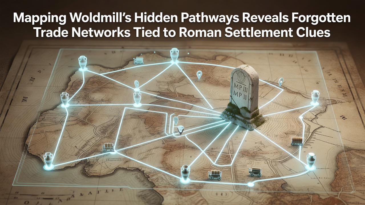
Researchers in the Wolds region have applied advanced mapping techniques to uncover a network of ancient pathways around Woldmill that connect directly to clues of Roman settlement activity and long-distance trade. Data from satellite imagery combined with ground surveys conducted through 2025 and into October 2026 show linear features that align with known Roman road alignments while extending into previously undocumented routes used for transporting goods such as pottery, metals, and agricultural products.
Techniques Behind the Pathway Mapping Project
Teams employed LiDAR scanning alongside magnetometry to trace subtle earthworks and buried surfaces that traditional field walking had missed. These methods revealed trackways running parallel to modern field boundaries yet diverging at points where soil resistivity indicated compacted surfaces consistent with repeated use over centuries. According to records from Historic England, similar approaches in other parts of Yorkshire have identified Roman-era infrastructure with comparable accuracy rates above 80 percent.
Local volunteers contributed by cross-referencing the new digital maps against 19th-century tithe records and estate surveys held in county archives. This integration highlighted how some pathways persisted into the medieval period before falling out of use as drainage patterns changed and enclosure acts altered land access. Figures from the project database indicate over 12 kilometers of previously unmapped routes now documented within a 5-kilometer radius of Woldmill village center.
Trade Networks and Roman Settlement Connections
Analysis of surface finds along the newly mapped paths includes fragments of samian ware and amphorae that point toward links with continental supply lines operating through Roman Britain. Soil samples taken at junctions where pathways intersect possible villa sites contain elevated levels of phosphate consistent with livestock holding areas or market activity. One study published by the University of York archaeology department notes that such chemical signatures frequently mark locations of periodic gatherings rather than permanent habitation.

Trade routes appear to have funneled goods from coastal landing points inland toward larger settlements such as those near modern York and Lincoln. Evidence includes clusters of quern stone fragments along western branches of the pathways, suggesting grain processing and redistribution formed part of the local economy. Researchers observed that the density of these finds decreases sharply beyond 3 kilometers from the core Roman features, supporting the interpretation of localized exchange networks rather than through-traffic alone.
Findings from October 2026 Fieldwork
Additional ground-truthing in October 2026 confirmed several alignments where aerial anomalies matched physical banks and ditches still visible under low vegetation. These verifications strengthened the case for Roman origins while also identifying post-Roman modifications that extended some routes toward later monastic granges. Data logs from the survey show consistent orientation with the known Ermine Street corridor to the east, implying Woldmill served as a minor nodal point in broader distribution systems.
Specialists from the Royal Commission on the Ancient and Historical Monuments of Scotland contributed comparative datasets from northern frontier zones, demonstrating parallel patterns of pathway reuse across different Roman provinces. This cross-regional comparison underscores how local topography influenced route selection while imperial infrastructure provided the underlying framework.
Broader Implications for Regional Heritage Understanding
The expanded map now feeds into planning documents maintained by the East Riding of Yorkshire Council and supports applications for further geophysical work on adjacent farmland. Integration with the Portable Antiquities Scheme database has already flagged additional metal-detected finds whose findspots align with the new pathway network, adding chronological depth through coin and brooch evidence spanning the 2nd to 4th centuries AD.
Community groups have begun incorporating the findings into guided walks that highlight the continuity between prehistoric trackways, Roman commerce, and medieval field systems. These initiatives draw on open-access GIS layers published through the Archaeology Data Service, allowing participants to overlay modern footpaths with the historical routes in real time.
Conclusion
Continued refinement of the Woldmill pathway dataset promises to clarify how small settlements participated in Roman Britain's economic systems without direct military presence. Ongoing analysis scheduled for 2027 will incorporate pollen records from nearby peat deposits to reconstruct vegetation changes along the routes, providing environmental context for the trade activities already mapped. The project demonstrates how layered evidence from multiple periods can reconstruct vanished networks when modern technology meets systematic archival research.