Uma Franke · 27 October 2026
Young Voices Capture Woldmill's Evolving Countryside in Classroom Project
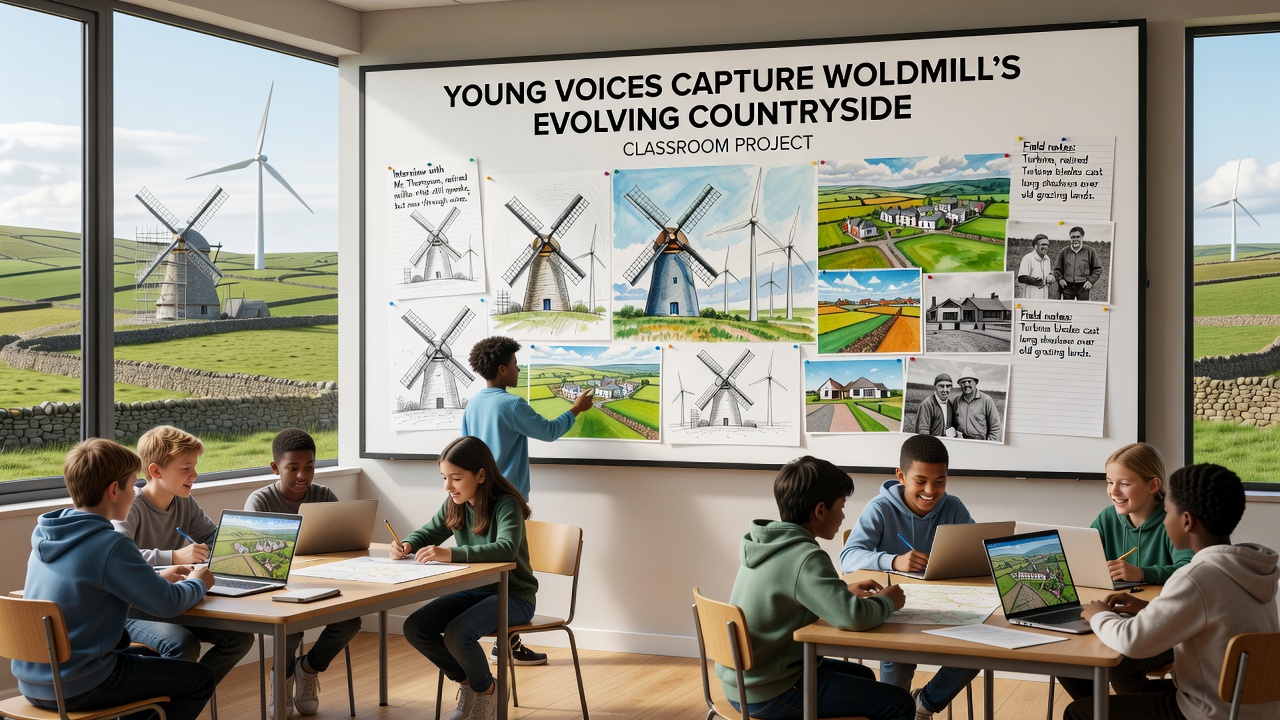
Local schools in the Woldmill area have launched a classroom initiative that engages young participants in recording shifts across the surrounding countryside, and the effort draws on direct observation combined with archival records to track alterations in fields, hedgerows, and waterways. Teachers coordinate sessions where students collect data on vegetation patterns, soil conditions, and seasonal wildlife activity while they compare findings against historical maps and photographs preserved in regional archives.
Project Structure and Methods
Participants aged between eleven and sixteen attend weekly workshops that combine fieldwork with classroom analysis, and instructors introduce techniques for mapping plant species distribution alongside measurements of light exposure and water flow in nearby streams. Students divide into small teams that rotate responsibilities for photography, note-taking, and interviews with longtime residents who describe farming practices from previous decades. Data compilation occurs through shared digital platforms that allow cross-referencing of observations collected over multiple months.
One group focuses on identifying changes in tree cover by revisiting sites documented in records from the mid-twentieth century, while another examines insect populations through standardized counting protocols established by regional biodiversity monitoring programs. The approach integrates input from local agricultural advisors who supply details on crop rotation adjustments implemented in response to weather variability patterns observed since 2015.
October 2026 Milestones
Preparations for a public exhibition scheduled in October 2026 include compilation of student-generated reports that highlight specific alterations such as expansion of certain grassland areas and reduction in traditional boundary features. Organizers plan to display selected photographs alongside timelines that illustrate shifts in land use documented through both student surveys and supporting records from the Department for Environment, Food and Rural Affairs. The event will feature presentations where participants explain their data collection processes to community members and visiting researchers.
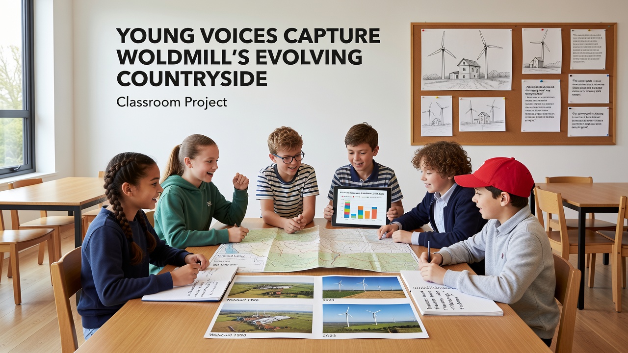
Coordination with external partners provides access to satellite imagery that supplements ground-level observations, and students learn to overlay their findings on broader datasets maintained by academic institutions. This integration reveals correlations between local trends and larger-scale environmental monitoring conducted across comparable rural districts in northern England. Project leaders note that repeated site visits throughout 2025 and into 2026 allow tracking of incremental developments that single visits might overlook.
Community Involvement and Data Sharing
Residents contribute oral histories that supply context for observed changes, and these accounts undergo verification against land registry documents and aerial surveys conducted by government agencies. Students practice summarizing these narratives into concise reports that accompany visual materials in the upcoming exhibition. The process emphasizes accuracy in transcription and attribution so that each contribution remains traceable to its source.
Schools maintain partnerships with nearby heritage organizations that supply reference materials on past land management, and participants cross-check modern observations against those archives to identify continuity and divergence. Digital outputs from the project undergo review by subject specialists before public release, which ensures consistency with established recording standards used in similar educational programs elsewhere in the United Kingdom and in comparable initiatives run by Environment and Climate Change Canada.
Conclusion
The classroom project continues to generate records that document countryside evolution through systematic student participation, and the October 2026 exhibition will present compiled findings to wider audiences. Ongoing data collection extends the timeline of observations, while partnerships with established agencies support verification and broader contextual placement of local results.